Arizona RV Camping – Sentinel
These Arizona RV camping maps are provided to assist you in finding RV camping locations near Sentinel, Arizona. Locations displayed are approximate, and are offered only as a guide and should not be used for navigation. Public lands are administered by USA and state government departments, and you should consult with the local public land management office for specific RV camping and access information if you are unsure of local policies.
To find free RV camping sites around Sentinel, you need a good map. We recommend Arizona Road and Recreation Atlas (Benchmark) as a great paper recreation atlas. Topographic and recreation map sections, back country roads, state and federal parks, wildlife management areas, campgrounds, points of interest and much more.
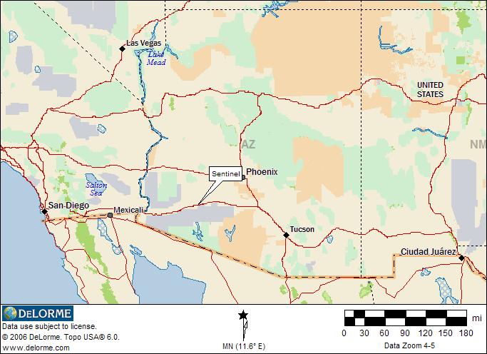
Sentinel Location
This map shows the location of Sentinel, Arizona.
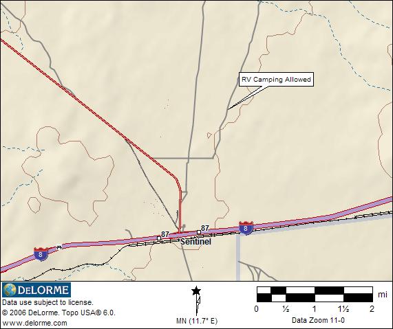
Free RV Camping Location
This map shows the approximate location of a good free RV camping location. This campsite is about 4 miles north of Sentinel along a good gravel road. There is room for several RV’s of any size.
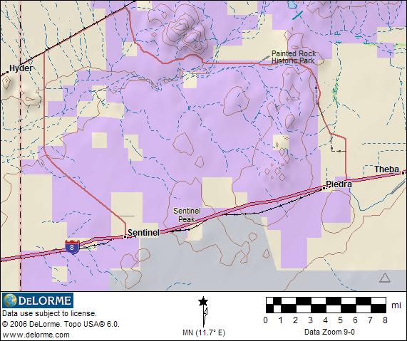
BLM Administered Lands
This map shows Bureau of Land Management (BLM) administered lands purple shaded. Light blue shaded area shows the Barry Goldwater Military Test Range and is a restricted area.
The location map images for finding RV camping locations around Sentinel AZ are derived from DeLorme Topo 6.0 Software and used with their exclusive permission.
Return to Arizona RV Camping